City of Clovis • 1033 Fifth Street • Clovis, CA • 93612 • TTY 711
 GIS Day Information
Geography Awareness Week is celebrated every third week of November. Every Wednesday of that week has been designated GIS Day. In 2019, GIS Day was November 13th.
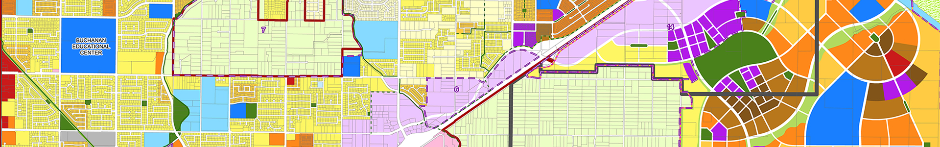
A GIS (Geographic Information System) is a framework for gathering, managing, and analyzing data. Rooted in the science of geography, GIS integrates many types of data. It analyzes spatial location and organizes layers of information into visualizations using maps and 3D scenes. With this unique capability, GIS reveals deeper insights into data, such as patterns, relationships, and situations – helping users make smarter decisions.
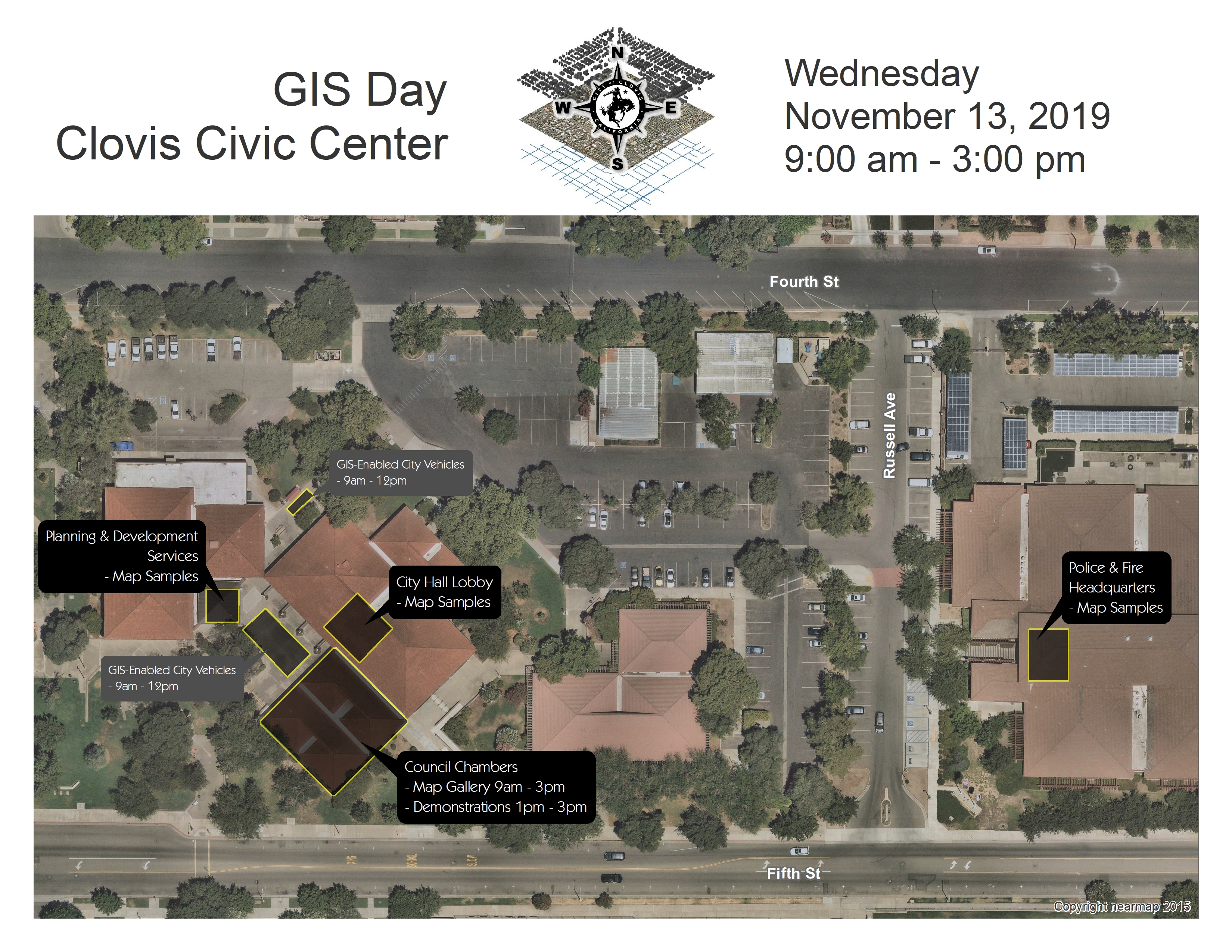
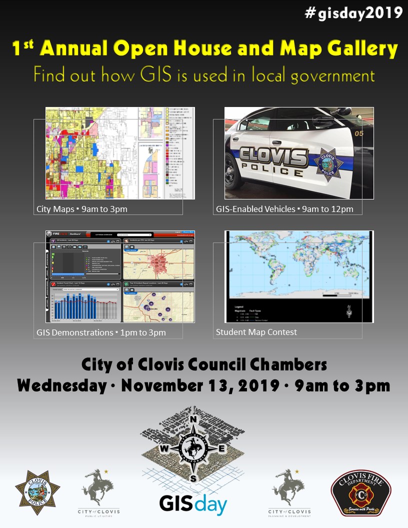
Come to the City of Clovis Civic Center on November 13 from 9AM to 3 PM to see maps, take an up-close look at City vehicles that utilize GIS, participate in a Map Quest, and see a drone demonstration. There will also be a map contest with opportunities for students in several divisions: elementary school, intermediate school, high school, and college.
Download the GIS Day flier to share information about GIS Day with classes or mapping enthusiasts.
Click the image to the left to see a map of the GIS Day activity locations.